Historic Bomb Cyclone Paralyzes Pacific Northwest with 160 km/h Winds
Northwest US, Wednesday, 20 November 2024.
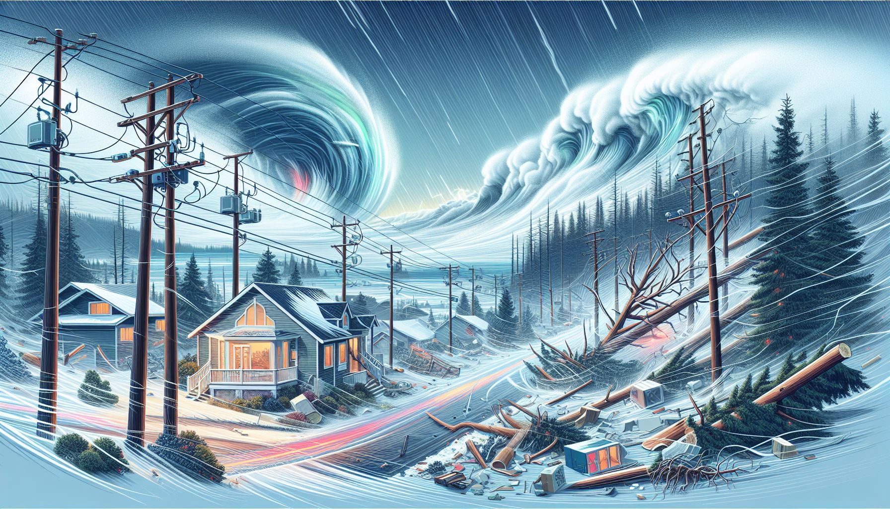
A catastrophic storm system has left over 600,000 homes without power across Washington State, claimed one life, and unleashed record-breaking winds reaching 160 km/h off Vancouver Island. The unprecedented weather event combines a bomb cyclone with an atmospheric river, creating life-threatening conditions from California to British Columbia. Emergency services report widespread destruction as trees crash into homes and roads, while meteorologists warn the severe weather will persist through Friday, threatening additional flooding and blizzard conditions in the Cascades.
The Storm’s Devastating Impact
The bomb cyclone, which descended upon the Pacific Northwest on November 19, 2024, has wrought havoc across Washington, Oregon, and California. With wind gusts peaking at 160 km/h off Vancouver Island, the storm has shattered power lines and uprooted trees, leaving over 600,000 homes in darkness. Tragically, the storm claimed its first victim in Lynnwood, Washington, where a tree fell onto a homeless encampment, causing a fatality. The storm’s intensity is marked by a rapid central pressure drop of 35 millibars within 12 hours, qualifying it as a bombogenesis—a phenomenon known for its explosive weather conditions.
Power Outages and Infrastructure Damage
The impact on infrastructure has been severe, with over 15,000 homes in Oregon and 19,000 in California also experiencing power outages. The Bellevue Fire Department reported widespread damage: ‘Trees are coming down all over the city & falling onto homes.’ The fluctuating power outage reports highlight the technical challenges faced by utility companies amidst the chaos. In addition, the storm’s relentless winds have led to numerous road closures and significant property damage, further complicating rescue and repair efforts.
Meteorological Insights and Warnings
Meteorologists have issued dire warnings of continued extreme weather conditions. The National Weather Service (NWS) and the Weather Prediction Center have highlighted the risks of excessive rainfall, predicting up to 20 centimeters of rain in parts of northern California. The atmospheric river accompanying the bomb cyclone is expected to exacerbate flooding risks, with flash floods, rock slides, and debris flows anticipated. Additionally, a winter storm watch is in effect for the northern Sierra Nevada, forecasting up to 38 centimeters of snow above 1,066 meters, along with blizzard warnings in the Washington Cascades.
Emergency Preparedness and Response
Authorities urge residents to exercise extreme caution and adhere to safety advisories. FEMA has stressed the importance of signing up for emergency alerts and moving to higher ground in flood-prone areas. The NWS Seattle advises staying indoors, away from windows, and avoiding travel unless absolutely necessary. Local emergency services are on high alert, ready to assist those in need, while state officials work tirelessly to restore power and clear blocked roads. The California Department of Transportation emphasizes the need for motorists to be prepared, with chains and emergency supplies on hand.
Looking Ahead
As the storm continues its course, residents of the affected regions brace for further challenges. The atmospheric moisture is expected to persist, bringing more precipitation and the possibility of additional power outages. The storm’s path and intensity underscore the critical need for robust emergency preparedness and infrastructure resilience in the face of increasingly severe weather events. As communities rally to recover from the immediate impacts, the focus shifts to long-term strategies for mitigating the effects of such natural disasters in the future.